La République du Cabo Verde est située à environ 570 kilomètres au large de la côte ouest de l'Afrique, en face du Sénégal, entre les latitudes 14° 23′ et 17° 12′ Nord et les longitudes 22° 40′ et 25° 22′ Ouest.
Les dix îles et huit îlots qui composent l'archipel totalisent 4 033 kilomètres carrés et sont divisés en deux sous-groupes, définis par leur position par rapport à la situation dominante de l'Union européenne. vents : le groupe des vents (le côté d'où souffle le vent) comprend les îles de S. Antão, S. Vicente et S. Guaia. Le groupe sous le vent (côté opposé au vent) comprend les îles suivantes îles de Maio, Santiago, Fogo et Brava.
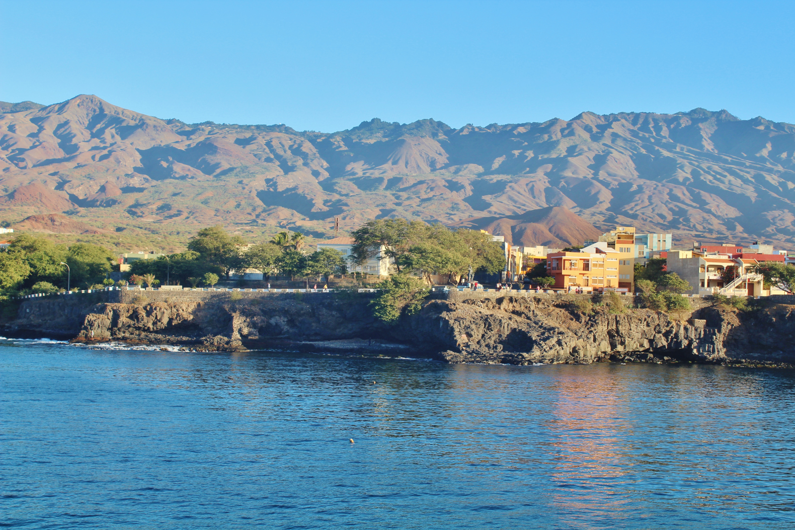
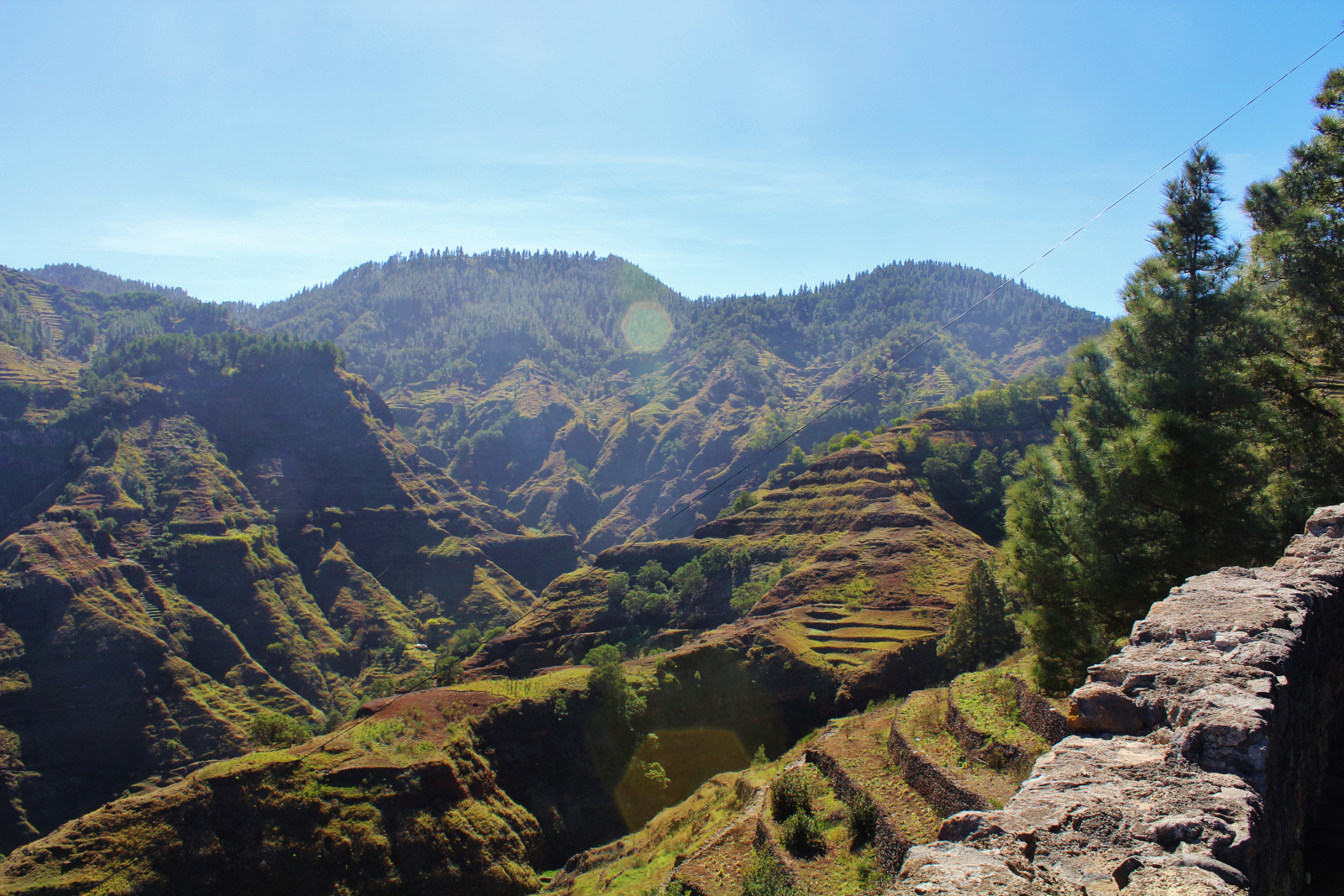
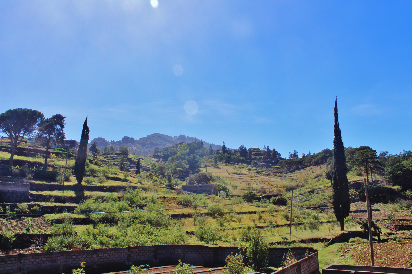
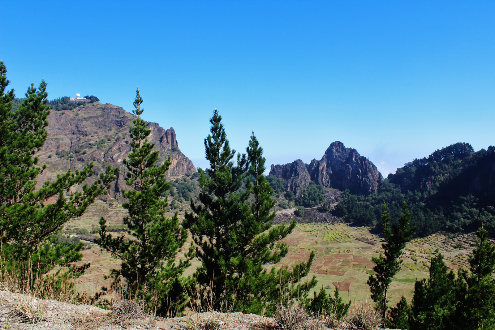
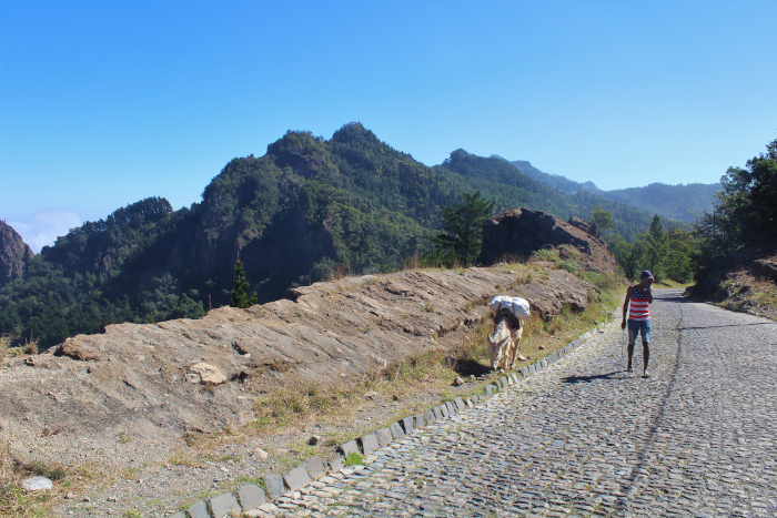
D'origine volcanique, les îles ont une identité géophysique variée et sont divisées en deux parties. groupes distincts en termes de topographie : les groupes montagneux se caractérisent par des les vallées qui s'étendent entre les hauteurs rocheuses et les plaines se distinguent par de longues plages de sable fin.
Les points culminants de l'archipel se trouvent sur l'île de Fogo (le volcan Pico à 2 829 mètres), Santo Antão (Topo de Coroa à 1 979 mètres) et Santiago (Pico da Antónia et Serra da Malagueta à 1 280 mètres et 1 373 mètres respectivement). Situé dans la région du Sahel, l'archipel bénéficie d'un climat tropical sec, avec des températures douces et relativement basses. des températures uniformes tout au long de l'année, avec des moyennes mensuelles comprises entre 20º et 26º. Cependant, il existe deux saisons distinctes : l'une plus humide et plus chaude entre mai et juin, l'autre plus chaude et plus humide entre septembre et octobre. octobre et une autre plus sèche et plus fraîche en raison des brises.

